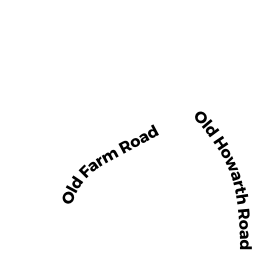
6 HOWARTH RD
Owner Information
CORNWELL, JR, JAMES G
6 HOWARTH RD
OXFORD, MA 01540 1902


Property Details
6 HOWARTH RD is classified as a Single Family Residential (Ranch).
The primary structure on this property was built in 1955. There are 3,094ft2 of built area within this property. There is 992ft2 of residential/living space within this property. This property is listed as having 7 rooms.
6 HOWARTH RD is valued at $203,800. The land is valued at $59,000 and the structures are valued at $141,300. There is an additional valuation of $3,500 on this property.
The most recent deed for 6 HOWARTH RD is recorded at the local registrar in Book 56673, Page 199. 6 HOWARTH RD was last sold on Friday, January 27, 2017 for $195,000.
Assessment data from fiscal year 2021.
Flood Data
According to the FEMA National Flood Hazard Layer, this property does not appear to be in a flood zone. It may also be in an area not yet reviewed. Nonetheless, confirm this information prior to taking any action.
To view the flood hazards around this property, create a FEMA "Firmette" Map of the area around 6 HOWARTH RD.
Broadband Internet Providers
| Provider | Type | Bandwidth (mbps) | |
|---|---|---|---|
| VSAT Systems, LLC. | Satellite | 2 | 1 |
| HughesNet | Satellite | 25 | 3 |
| GCI Communication Corp. | Satellite | 0 | 0 |
| T-Mobile | Fixed Wireless | 25 | 3 |
| Charter Communications Inc | Fiber | 0 | 0 |
| Charter Communications Inc | Cable | 940 | 35 |
| PAETEC Communications, Inc | DSL | 0 | 0 |
| Verizon New England Inc. | DSL | 15 | 1 |
| Viasat Inc | Satellite | 100 | 3 |
| Crown Castle Fiber | Fiber | 0 | 0 |
Broadband service provider data from December 2020.
Adjacent Properties
- 8 HOWARTH RD
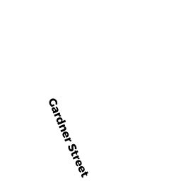
Single Family Residential owned by LARIVIERE, PAUL J - 7 GARDNER ST
Single Family Residential owned by DONOHUE, SHEILA S - 4 HOWARTH RD
Single Family Residential owned by SEAN COLLINS - 9 GARDNER ST
Single Family Residential owned by RHEAULT, LINDA J - 11 GARDNER ST
Single Family Residential owned by LARIVIERE, LOUIS H